Civil Engineering Professor and his team release the first web-based flood forecasting system in the region
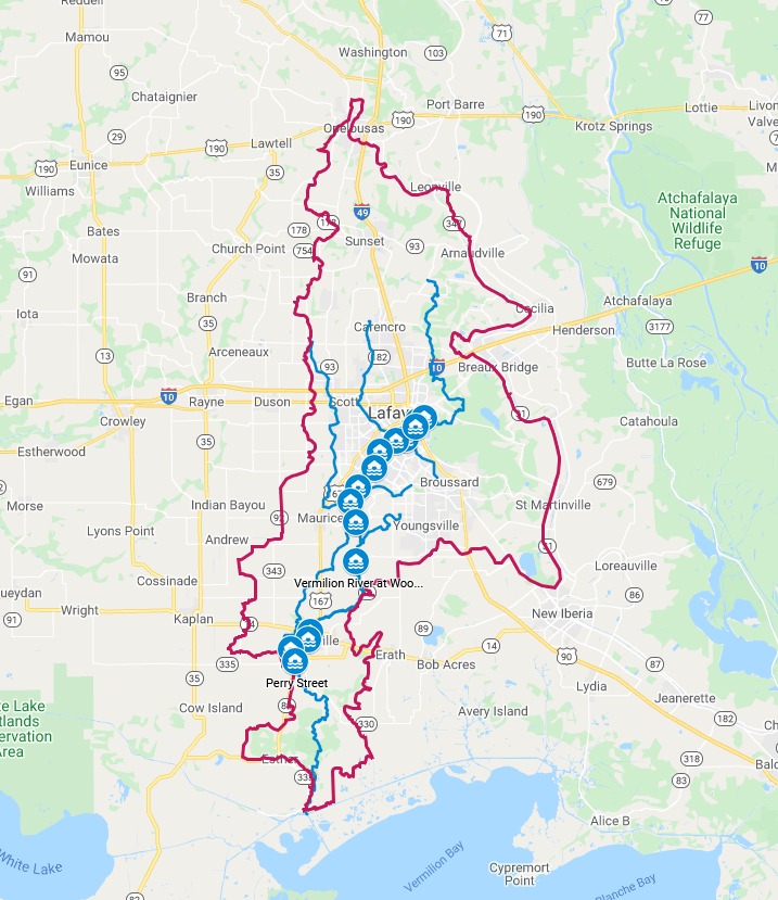
Tue, 09/14/2021 - 3:07pmDr. Emad Habib, Director for the Louisiana Watershed Flood Center, Endowed Chair and Professor of Civil Engineering and a team of graduate students and researchers in the Civil Engineering Department have just released a web-based platform for flood forecasting in the Vermilion River. The forecasting system provides near real-time forecasts of flood elevations along the Vermilion River ahead of and during storms such as Hurricane Ida and Tropical Storm Nicholas. The forecasting system is based on a coupled hydrologic-hydrodynamic model that runs in real time using precipitation forecasts from the NOAA’s Global Forecasting System. The UL flood forecasting system will be the first in the region that provides river stage forecasts at community-scale locations that currently lack such information. The system is designed with the objective of providing timely and meaningful information on the expected flood elevations with a lead time of up to 10 days. The information can be used by citizens in local communities, as well as by emergency management officials who need to respond in real-time to hazardous storms. The system is currently available online as a beta version and is going further developments by the research team to increase its spatial coverage and provide ensemble forecasts that communicate the expected levels of forcast confidence.
For more information visit KATC news article and video.

Figure Caption: The web-based system can provide real-time forecasts of flood elevation at any location along the Vermilion River.
Figure Caption: The web-based system can provide real-time forecasts of flood elevation at any location along the Vermilion River.

